


What is the "Co-Creation Program 2021" dynamic map infrastructure?
We aim to create new services by combining the innovative ideas and technologies of startups with our 3D map data (with latitude, longitude, and height information with cm-level accuracy) to solve issues specific to urban and rural areas and industries due to population decline and depopulation, and to implement advanced mobility such as self-driving cars in society. We would like to create new services by combining startups' innovative ideas and technologies with our own 3D map data (which has location information of latitude, longitude and height with cm-level accuracy).
Overview of the Dynamic Map Infrastructure "Co-Creation Program 2021
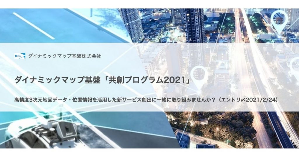
▶︎ Application Deadline: Wednesday, February 24, 2021
▶︎ How to enter: Please submit your collaboration proposal through the following URL (dedicated website on the CrewwGrowth page).
URL:https://growth.creww.me/4c51f474-6678-11eb-b28d-2398e61cae94.html
▶︎ Target companies: all domestic and international startups. Any industry.
▶︎ Sponsored by Dynamic Map Infrastructure, Inc.
What we hope to achieve with the Accelerator Program
Advanced technology for the maintenance and updating of high-precision 3D map data
Efficient data measurement and updating is an urgent issue for the development of high-precision 3D maps in Japan and overseas,
The following advanced technologies are expected to be utilized
- Technology that leads to more efficient and advanced creation and updating of high-precision 3D map data for advanced mobility such as automated driving, drones, EVTOL, etc.
- Map data needs to be updated regularly as the current situation changes, so efficient methods such as change point detection by AI and image analysis are necessary.
Provide high-precision location services to infrastructure managers
In the field of social infrastructure development and maintenance, the aging of experienced workers has resulted in a labor shortage, and there is a need for more efficient and labor-saving work through the use of technology in the following areas
- Support for confirmation of current conditions and work efficiency by combining underground buried objects and our 3D maps (location information)
- High-precision positioning service for snowplows with poor visibility
Providing information services for smart cities, tourism promotion, and entertainment
We are developing static map information (lanes, signs, etc.) as the basis for automated driving as a cooperative area, but we believe there is a need for location information and simulation services that are tied to other dynamic information.
- Provide information services by linking 3D map data (roads and adjacent low-rise buildings maintained by the Company) with dynamic information such as human flow, facility availability, and weather conditions.
- Visualization of urban space, road space, etc. through the use of VR, AR, and simulation technology
Utilization of location information in logistics and retail related services
In the last-mile delivery, it is difficult to pinpoint complex routes and deliveries using only GPS and SLAM technology.
- Utilization of high-precision 3D maps and location information for last-mile delivery by delivery robots and drones
Management resources (resources) of the dynamic map base that startups can utilize
01: Data
02:Application development function on cloud DB
03: Providing a place for POC
Enthusiasm for the Program
Our 3D high-precision HD map data has already been adopted by domestic and foreign automobile companies for automated driving, and we are expanding its applications for other services and mobility by taking advantage of its characteristics and wide coverage.
By combining your technology and business model with our data and business model, we would like to work together to create services that can be implemented in society!
(Application period: February 9 to February 24, 2021; selection, consultation, and final adoption: February 25 to the end of April 2021)





 JA
 EN
