



About "The Meet Hiroshima Open Accelerator Gov-Tech-Challenge
This program matches startup companies with 15 cities and towns in Hiroshima Prefecture, including Hiroshima City, for the purpose of promoting DX and solving regional issues (operated by two companies, Hirogin Area Design, Inc. and Creww, Inc. on behalf of Hiroshima Prefecture).
Startup companies with innovative ideas and technologies to solve local issues, services, and administrative tasks that each of the participating cities and towns have, applied for the program. A total of 304 entries and proposals were received, of which 26 were selected for the program, and a presentation of the program's results is scheduled to be held in March 2024.
(Reference 1) The Meet Hiroshima Open Accelerator Gov-Tech-Challenge
https://growth.creww.me/e9469f16-303a-11ee-a09a-23684d805c25.html
(Reference 2) List of adopted proposals announced by Hirogin Area Design Corporation
https://www.hirogin-areadesign.co.jp/news/list/__icsFiles/afieldfile/2023/12/05/20231206.pdf

About the proposal adopted this time
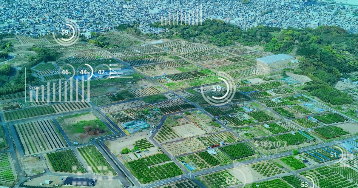
The idea proposed to the Fukuyama City Board of Agriculture by Spaceshift was adopted this time is to save labor for farmland use survey work through AI analysis of SAR satellite data. Currently, the Fukuyama City Board of Agriculture conducts farmland use surveys (farmland patrols) by the Agricultural Land Use Optimization Promotion Committee members, but they spend a great deal of labor in preparing maps, conducting field checks, and organizing the results.
This idea aims to save labor by making primary determinations of agricultural land use (idle agricultural land) by analyzing image data using AI. Furthermore, by efficiently detecting idle farmland, we aim to promote the utilization of such land, and by converting the technology cultivated into a platform, etc., we aim to improve the efficiency and vitality of industry.
Although there are precedents for similar services for idle farmland using optical satellites, this idea of using SAR satellites is expected to be superior in several respects. First, SAR satellites are capable of stable observations, unaffected by weather conditions, and can identify land characteristics that are difficult to read with optical satellites alone. Furthermore, the use of Spaceshift's proprietary AI is expected to improve cost and accuracy compared to conventional analysis by optical satellites and human operators.
The management and utilization of idle farmland is an issue for local governments throughout Japan, and this project using SAR satellites is a technology that can be deployed throughout the country and around the world. Therefore, after the completion of this project, we plan to use the knowledge and know-how gained to conduct more in-depth demonstrations and to participate in the domestic and international market, including proposals to local governments and collaboration with related companies.
About Space Shift
Established in December 2009. Under the theme of "Sense the Unseen from Orbit," we are developing software to analyze data obtained from earth observation satellites using AI to extract a great deal of information with cognitive abilities that surpass humans. We aim to realize a sustainable society by utilizing satellite data in various fields such as infrastructure management, disaster prevention and mitigation, agricultural monitoring, and environmental conservation.
| name of company | Space Shift, Inc. |
| Establishment | December 11, 2009 |
| Location | 6F Otemachi Building, 1-6-1 Otemachi, Chiyoda-ku, Tokyo |
| representative | Naruo Kanamoto, Representative Director and CEO |
| uniform resouce locator | https://www.spcsft.com/ |






 JA
 EN
